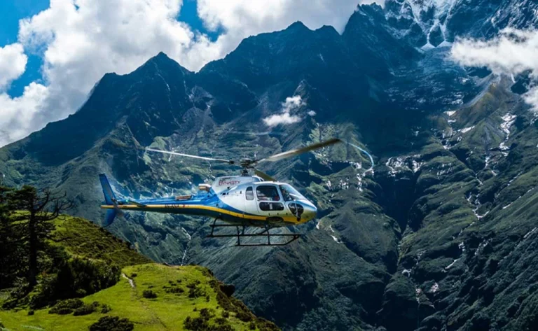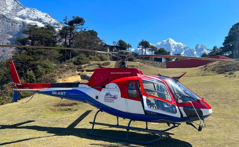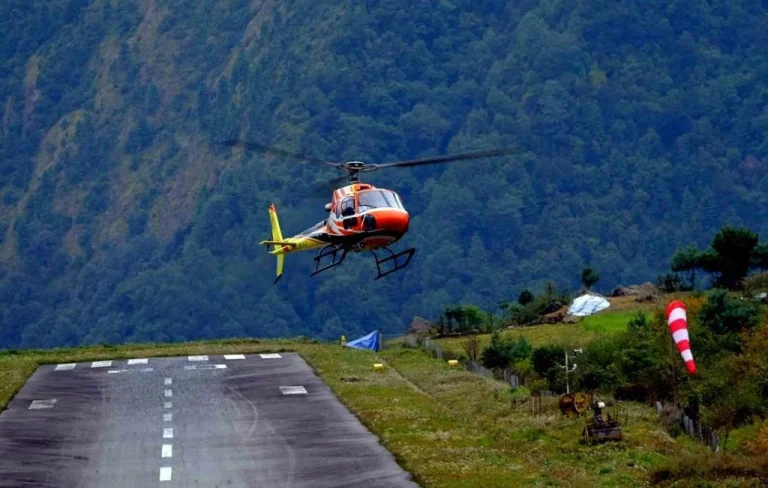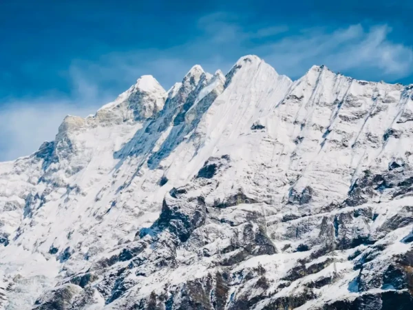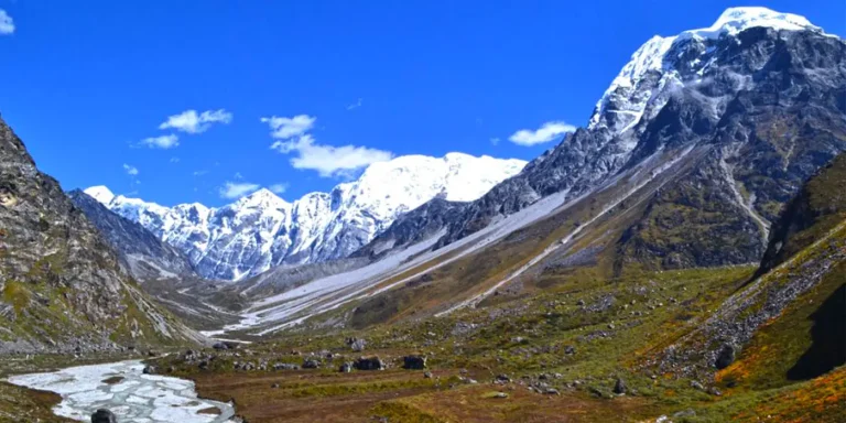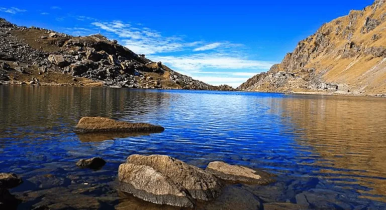
The Langtang Helicopter Tour is a short scenic flight from Kathmandu toward Kyanjin Gompa. It offers an aerial view of the Trishuli corridor, Langtang National Park, Langtang Village and surrounding peaks. A brief landing may be planned at Kyanjin Gompa, but weather, wind, snow, aircraft performance and aviation rules always control operations.
This aviation program is designed as a carefully managed mountain experience, not a guaranteed sightseeing timetable. Departure time, routing, landing, passenger distribution and time on the ground depend on weather, visibility, air-traffic instructions, aircraft performance and the pilot’s final safety decision. Clear pre-flight communication, realistic expectations and flexible
contingency planning are therefore central to the service.
Maximum landing altitude: Kyanjin Gompa – approximately 3,870 m / 12,697 ft
Operating note: The sequence below is indicative. Weather, visibility, aircraft availability, passenger weight, air-traffic control and the pilot’s safety assessment may change the departure time, routing, landing point or duration.
Hotel pickup when included; transfer to the domestic helicopter terminal; safety and weight briefing; approximately 25–40 minutes’ flight toward Langtang; conditional 20–40 minute landing at Kyanjin Gompa; return flight and transfer. Actual times vary.
Kyanjin Gompa is at high altitude. Move slowly, remain with the group and report symptoms immediately. The pilot may shorten or omit the landing.
• Every passenger must provide accurate body weight, including clothing and hand baggage.
• The pilot has final authority over routing, landing duration and cancellation.
• High-altitude exposure can cause headache, dizziness or nausea even during a short landing.
• Keep baggage within the confirmed limit and follow crew instructions at all times.
• Cancellation, rescheduling and refund terms follow the written booking conditions.
The Langtang helicopter tour suits time-limited travelers seeking an aerial introduction to the valley and guests who understand the limitations of mountain aviation. It can reduce walking but does not remove altitude exposure. Anyone with significant heart, lung, blood-pressure, mobility or recent surgical concerns should obtain medical advice and disclose the condition before
Remote landing areas have limited medical facilities, and the planned stop may be shortened or omitted because of wind, cloud, visibility, aircraft performance or local restrictions. The helicopter may divert or return without completing the advertised route. Suitable insurance and a flexible onward schedule are strongly recommended.
What to Bring Bring identification, warm layered clothing, a windproof outer layer, gloves, sunglasses, sun protection, essential medication and the approved small bag. Secure hats, scarves and loose items before approaching the aircraft. Baggage and passenger weights must be declared accurately because they affect aircraft loading and routing.
Bring identification, warm layered clothing, a windproof outer layer, gloves, sunglasses, sun protection, essential medication and the approved small bag. Secure hats, scarves and loose items before approaching the aircraft. Baggage and passenger weights must be declared accurately because they affect aircraft loading and routing.
Follow crew signals at all times, remain within the designated landing area and avoid disturbing residents, wildlife or religious activity. Never walk toward the tail rotor or approach a running aircraft without instruction. Flight paths, landing duration and passenger grouping are operational decisions, not sightseeing guarantees.